Field Type
CloudBase document database supports multiple data types, meeting data storage requirements for diverse scenarios.
Basic Data Types
| Data Type | Description | Example | Applicable Scenarios |
|---|---|---|---|
| String | String type, used for storing text data | "Hello World" | username, description information, text content |
| Number | Numeric type, including integers and floating-point numbers | 123, 3.14 | age, price, counter |
| Object | Object type, used for storing key-value pair structured data | { "name": "Zhang San", "age": 25 } | user information, configuration data |
| Array | Array type, used for storing ordered collections of data | [1, 2, 3], ["a", "b", "c"] | tag lists, product categories |
| Bool | Boolean type, representing true or false | true, false | switch states, permission flags |
| Date | Date type, accurate to milliseconds | new Date() | creation time, update time |
| GeoPoint | Geographical point, marking a location with latitude and longitude | { "latitude": 39.9, "longitude": 116.4 } | location information, map markers |
| Null | Null type, indicating the absence of a value | null | default value for optional fields |
Detailed Explanation of Special Data Types
Date Type
Date type is used for storing time information with millisecond precision. It supports two creation methods: client time and server time.
Client Time
Using the built-in JavaScript Date object to create:
// Create current time.
const now = new Date();

// Create specified time.
const specificDate = new Date('2023-12-25 10:30:00');

// Insert data.
db.collection('articles').add({
  data: {
    title: 'Article title',
    createTime: now,
    publishTime: specificDate
  }
});
Server Time
Use the serverDate object to create a server-side current time marker.
// Use server time
db.collection('articles').add({
  data: {
    title: 'Article title',
    createTime: db.serverDate()
  }
});
GeoPoint Geographic Location Type
GeoPoint is used to represent geographic points, uniquely marking a location via longitude and latitude coordinates.
Implementations vary across SDKs, and the corresponding examples are shown below.
Creating a Geographic Location
- Mini Program
- Web
const db = wx.cloud.database();

// Create a geographic point
const location = db.Geo.Point(116.4, 39.9); // longitude, latitude

// Insert data with geographic locations.
db.collection('stores').add({
  data: {
    name: 'Beijing Store',
    location: location,
    address: 'Chaoyang District, Beijing City'
  }
}).then(res => {
  console.log('Added successfully', res);
}).catch(err => {
  console.error('Add failed', err);
});
import cloudbase from '@cloudbase/js-sdk';

const app = cloudbase.init({
  env: 'your-env-id'
});

const db = app.database();

// Create a geographic point
const location = new db.Geo.Point(116.4, 39.9); // longitude, latitude

// Insert data with geographic locations.
db.collection('stores').add({
  name: 'Beijing Store',
  location: location,
  address: 'Chaoyang District, Beijing City'
}).then(res => {
  console.log('Added successfully', res);
}).catch(err => {
  console.error('Add failed', err);
});
Geospatial Query
- Mini Program
- Web
const _ = db.command

db.collection('restaurants').where({
  location: _.geoNear({
    geometry: db.Geo.Point(116.4, 39.9),
    minDistance: 1000,
    maxDistance: 5000,
  })
}).get()
const _ = db.command

db.collection('restaurants').where({
  location: _.geoNear({
    geometry: new db.Geo.Point(116.4, 39.9),
    minDistance: 1000,
    maxDistance: 5000,
  })
}).get()
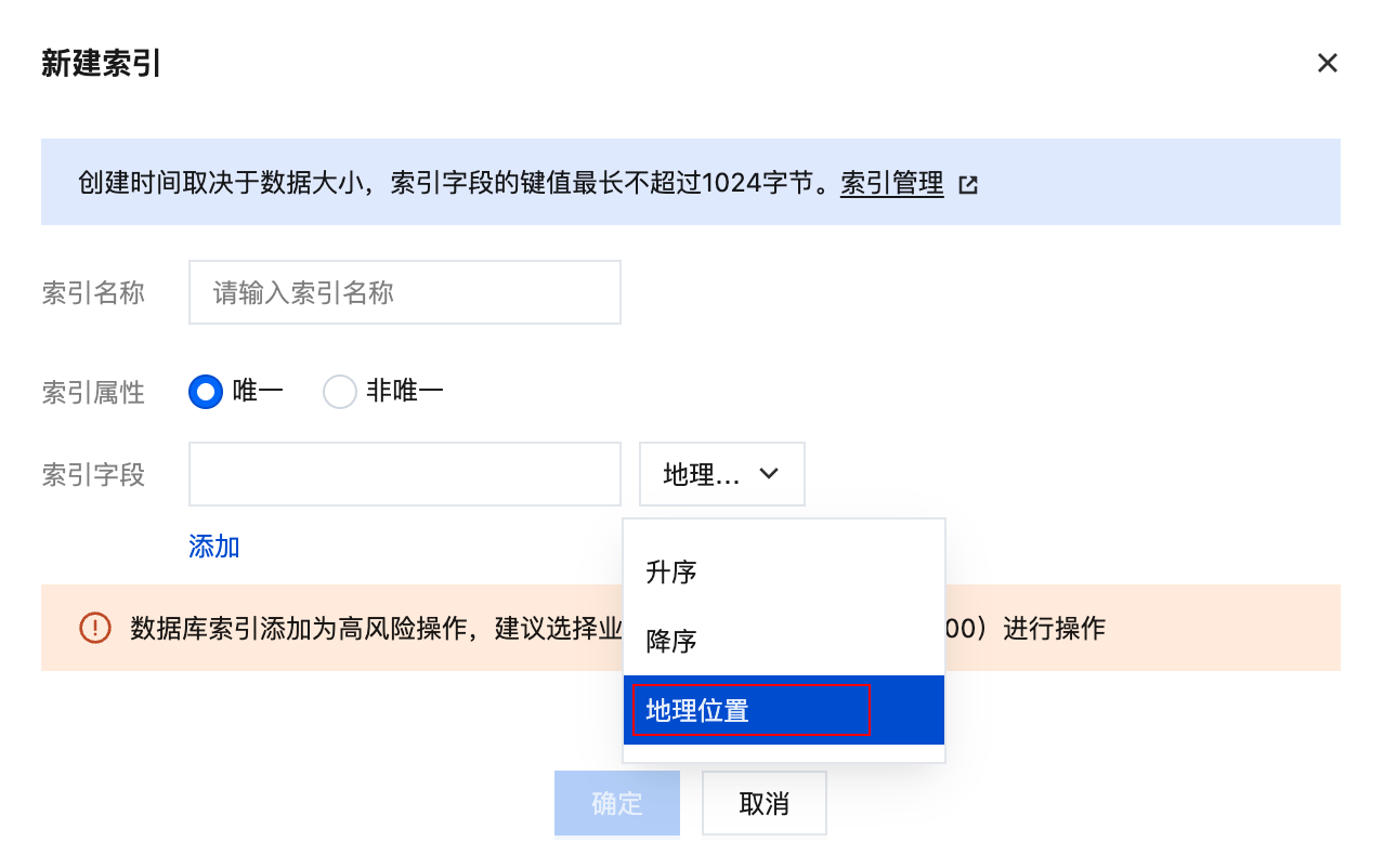
⚠️ Note: When querying geospatial fields, create a geospatial index; otherwise the query will fail. ⚠️ Note:
geoNearonly supports thegeometry,maxDistance, andminDistanceoptions. It does not support limiting the number of returned records via an option (for examplelimit: 10). To limit the results, chain thelimit()method afterwhere(), for example:.where({ location: _.geoNear({ ... }) }).limit(10).get()